
Associates
Rizwan Saqib Bajwa
Geologist / GIS & Remote Sensing Specialist · Techno-Legal Mining Consultant
Qualifications
PhD Geology (in progress) — University of the Punjab (2023–Present)
M.Phil Earth Sciences (2009)
LL.B — Punjab University Law College (2006)
M.Sc GIS (2004)
B.Sc Geology, Geography & Botany (2002)
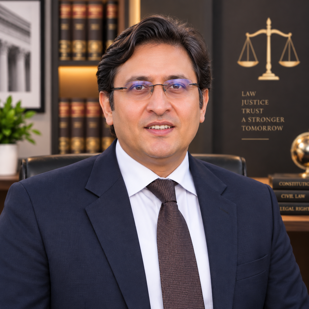
Geologist, GIS and remote-sensing specialist with 20+ years of government, technical and consultancy experience. Expertise in mineral exploration, resource estimation, mine/quarry planning, GIS-based concession management, UAV surveying and techno-legal mining consultancy. Experienced in coordinating international and national consultants, including SST/FUGRO, Artelia Group and NESPAK.
Core Expertise
- Techno-legal mining consultancy — consultancy agreements, scopes and technical documentation
- Geological mapping & resource estimation — limestone, clay, gypsum, coal & iron ore
- GIS / remote sensing; mineral concessions & leases
- UAV / GNSS / RTK surveying; SURPAC, ArcGIS & ERDAS
- Feasibility / pre-feasibility studies; mine / quarry planning
Professional Experience
Mines & Minerals Department, GIS (2012–Present): Leads GIS/geospatial systems and mineral-concession data management; provides technical and techno-legal support for consultant engagement, scopes and agreements; coordinates complex mining studies; introduced drone surveying through ADP 2024–25; supported online inspection, e-auction and payment systems.
Mines & Minerals Department, Government of Punjab — GIS Development Officer (BS-17) (2006–2012): GIS, GPS/DGPS surveying, underground coal-mine mapping, topographic control and spatial analysis for mining/resource projects.
NESCOM, Islamabad — GIS Technical Expert (2005–2006): GIS and geospatial technical assignments.
Individual Consultant (2014–Present): Consultancy for Asian Precious Minerals, Maple Leaf Cement, Flying Cement, Pioneer Cement, Hunza Sugar Mills, Lucky Cement, Green Land Pvt. Ltd., Mines & Minerals Department GB, Sapphire Group and coal lease holders — covering geological/resource mapping, cement raw-material assessment, prospecting-licence support, mine planning, UAV mapping and feasibility studies.
Selected Projects
- Project Manager — Positive/Negative Mining Areas for 8 cement plants, Salt Range; coordinated Artelia Group (France)/NESPAK studies.
- Project Manager — Third-party validation/survey of 588 underground coal mines; resource estimation for ~300 leases; coordinated SST/FUGRO JORC-aligned work.
- Chichali Iron Ore Deposits, Kalabagh — geological mapping (2022).
- Cement raw-material and limestone/clay/gypsum resource studies across Punjab, KP and GB; UAV mapping of ~1,934 acres.
Education & Training
PhD Geology (in progress), University of the Punjab (2023–Present); M.Phil Earth Sciences (2009); LL.B, Punjab University Law College (2006); M.Sc GIS (2004); B.Sc Geology, Geography & Botany (2002).
Training: GEOVIA SURPAC; SST/FUGRO coal production optimization (Germany); UAV/LiDAR/GNSS-RTK (Urban Unit & SUPARCO); Occupational Health & Safety; remote sensing and Quaternary geology.
Teaching & Research
Visiting teaching / resource-person experience at University of the Punjab, GCU Lahore and related institutions in GIS, remote sensing, cartography, hydrology, land-use and project planning.
Published research on geological lineament and lithological mapping using remote sensing/GIS; M.Phil dissertation on geological mapping of the Central Salt Range using remote sensing & GIS.